Central Park El Portillo

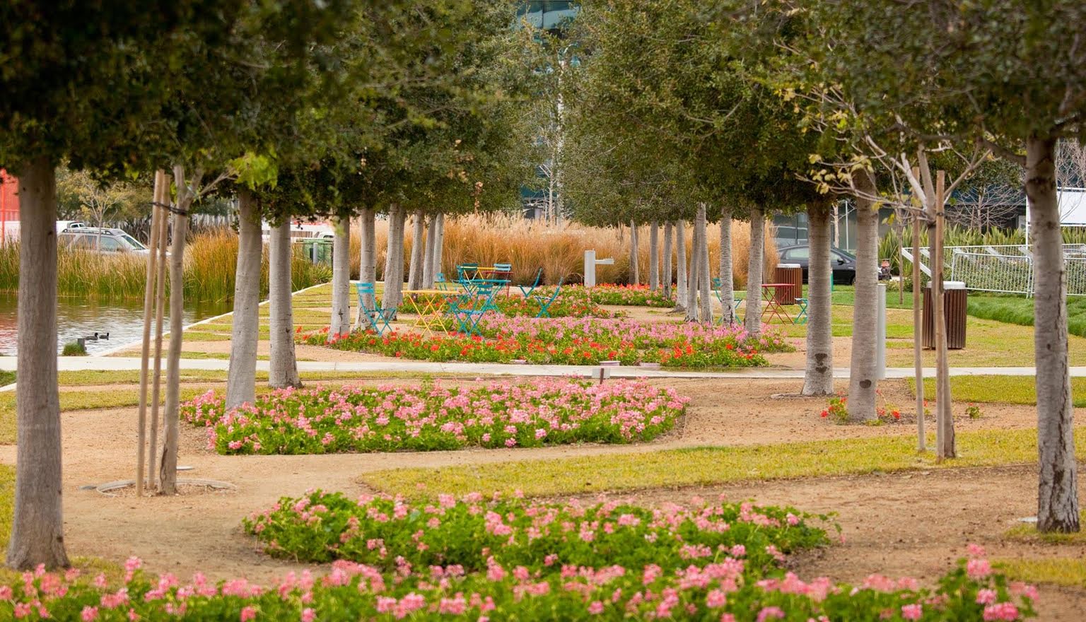
It could be said that Central Park is a “remnant” of the urban and political circumstances that have arisen since 2003, when the “old Portillo station” was closed to rail traffic. This is evident in its edges and geometry, which are affected by the underground railway line, the commuter train station and the urban development built around it; by the shape and position of the post office and the “old station” buildings and their car park, which obey an urban logic of the past; and by the CaixaForum. To these must be added the disparate volumes assigned by U.E.1 and U.E.2, and the demands of the intense road traffic in the surrounding area. One of the main objectives of the project, therefore, is to transform this “untidy” place into a “recognisable” space with a clear identity that helps to mitigate the “urban and formal noise” of the area. To achieve clarity, the project is divided into a set of clearly identified bands. From west to east, the first is the west pavement of Escoriaza y Fabro Street, which is wide and tree-lined; on the other side of the road, there is another tree-lined strip. The third is an equipped band — digital and physical — that concentrates all the park's activities on a clear path on the tunnel roof slab — it is a dynamic, informed and active place for everyone. Further east, in the triangular area in the centre of the site, lies the heart of the park, a well-wooded green area laid out with a robust geometry that allows for any irregularities or exceptions, as well as other possible projects.


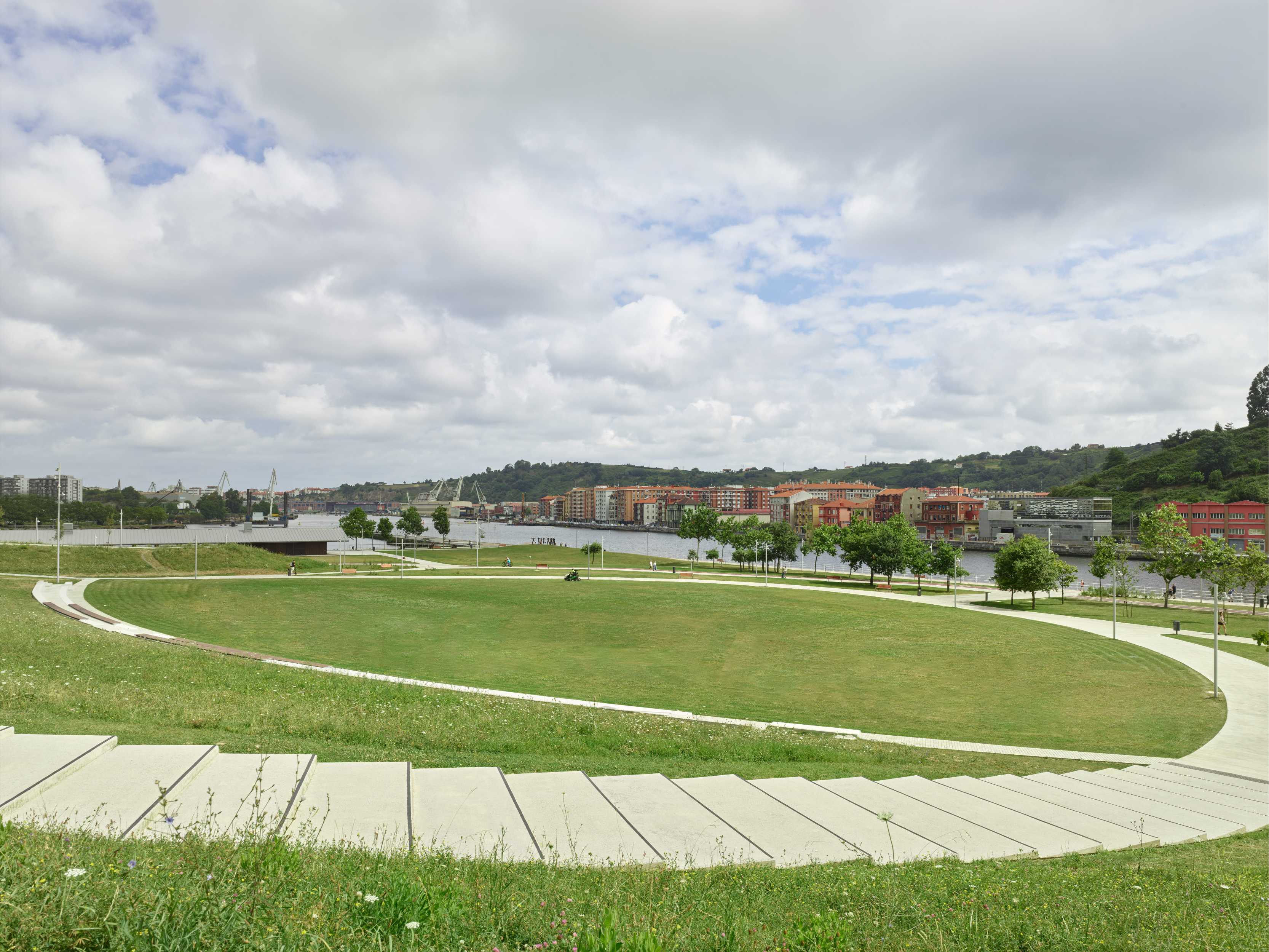
These four strips naturally link the urban area between the north, beyond the Plaza de la Ciudadanía, and the south, as far as Avenida Francisco de Goya. But it also resolves the 'urban scar' that has produced this great void in its transversal east-west connections, overcoming the 'enclave' condition of the area. Three diagonal crossroads link Calle Escoriaza and Fabro, with the area around the CaixaForum, the first, the second with Paseo Josemaría Escrivá de Balaguer, in the vicinity of the 'old Averly Foundry', and further south, the third, will do so when the U.E.2 is developed with the extension of Calle General Mayandía.

The project simplifies and improves the proposal of the Preliminary Plan as regards the road system, road traffic and cyclists. In this way, vehicle turns, pedestrian and cyclist crossings make traffic more fluid and the space for pedestrians on the pavements is maximised, especially on the west side of Calle Escoriaza y Fabro, which is transformed into a tree-lined 'linear park' equipped with generous areas for pedestrians and a certain spatial diversity that encourages encounters between citizens and enhances the value of the Hotel Orús building.
The system proposed by this project, with its specific strips of elementary and flexible geometry, allows an easy adaptation to the temporality of the U.E.2. That is to say, it will be completed with continuity when E.U.2 is executed, but it is also complete in its provisional condition, in the meantime. Furthermore, it incorporates the pre-existing elements without fanfare, in particular the urban development around the Cercanías station and the continuity with that around the CaixaForum.